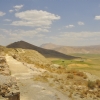
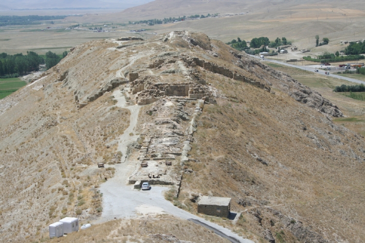
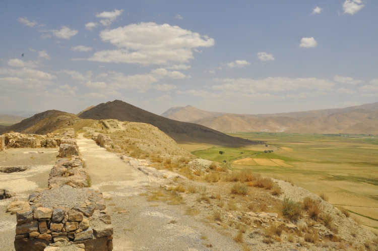
The city which was founded on the two low height at the west end point of Bol Mountain commanding to Van-Gürpınar Plain took the name of Sardurihinili due to being constructed by Sarduri II.
First archeological excavations were started by Prof. Dr. Afif Erzen in 1961. During these excavations which lasted until 1984 Haldi Temple was unearthed in the Upper Castle and palace, temple, city walls, Uçkale and storehouse structures were unearthed in the Lower Castle. The excavation studies started again in 2014 under the presidency of Prof. Dr. Rafet Çavuşoğlu.
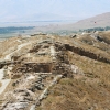
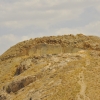
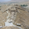
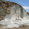
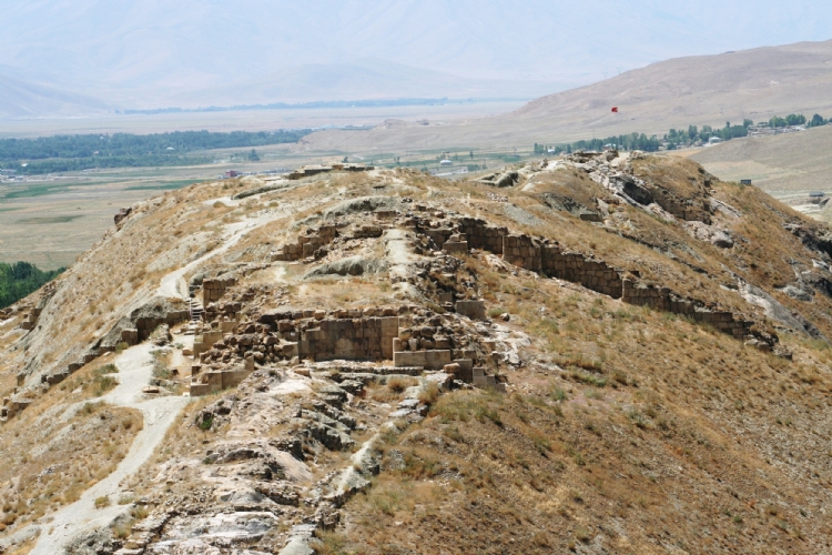
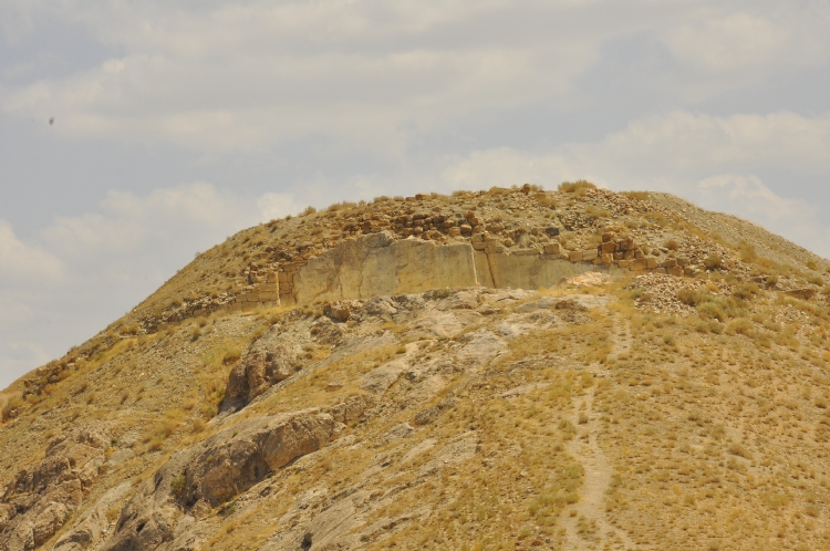
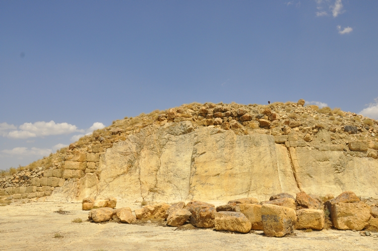
The citadel of the city is situated on the two hills one of which is at south west and the other is at northeast. The part which is named as Upper Castle is located on the upper hill at the east. A platform was formed by carving the main rock at its slope looking towards the Lower Castle at its very western part. At the east of this area, south and north of the rectangular area having east-west direction and at the size of 90x55 m which was placed according to the topography of the hill are surrounded by walls. And at the farther east of the area "east ditch" which was formed by engraving the main rock is situated. There is Haldi Temple at the farther west of the Upper Castle. The cella of the temple whose entrance is at the eastern side and which has an outer size of 12.50x12.50 m is at the size of 4.50x4.50 m. The temple is square planned and have avant-corps corners similar to other examples in the royal cities of Urartu. It is reported that the yard in front of the temple is surrounded with stoops in three directions.
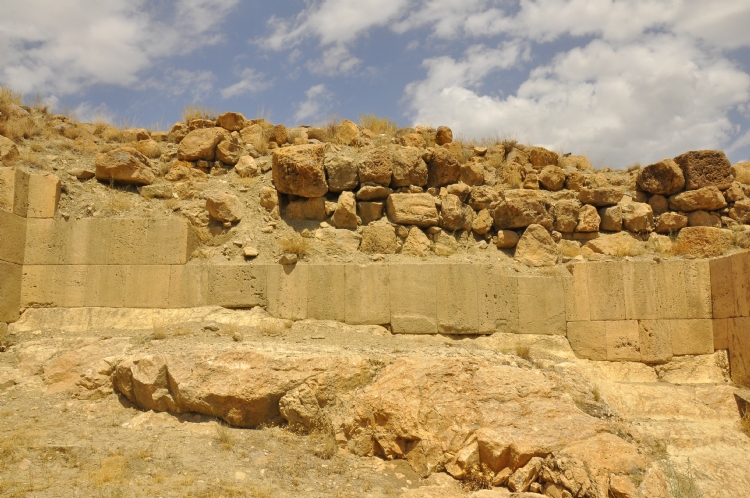
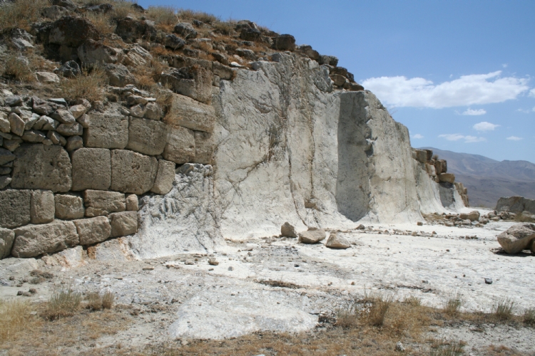
The location which is named as Lower Castle was founded on a lower hill in the west of Upper Castle. Both areas are connected to each other with a low neck. The surroundings of the Lower Castle is also surrounded with a stone based and mudbrick bodied defense system. In this area which is surrounded by walls and has a length of 450 m., temple, palace and storehouse structures are unearthed.
The square planned temple having avant-corps corners which reflects the standard structure group of Urartu royal settlements was discovered in Lower Castle. Since it has two temples having the same plan understanding, Çavuştepe has a different place among the royal cities. The base of the temple was constructed
The temple is and its similar to other examples in the royal cities of Urartu. It is reported that the yard in front of the temple is surrounded with stoops in three directions.
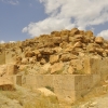
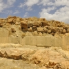
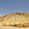
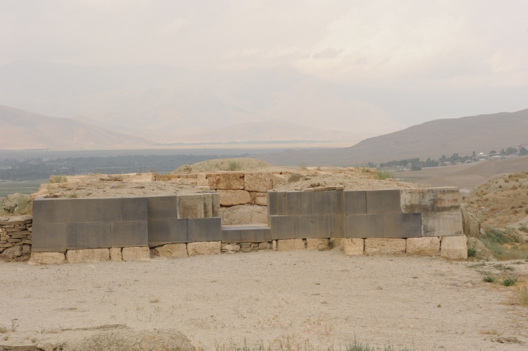
The square planned temple having avant-corps corners which reflects the standard structure group of Urartu royal settlements was unearthed in Lower Castle. Since it has two temples having the same plan understanding, Çavuştepe has a different place among royal cities. The base of the temple was constructed from distichous basaltic blocks whose exterior surfaces were brigtened. The outer size of the temple is 10x10 m. and its cella part has a size of 4.5x4.5 m. The temple was built for the name of God Irmunishi as it is understood from the scripture on the left side of the temple entrance . In its entrance side, at its east there is probably a yard with stoops from three sides at the size of approximately 21.50x21.50 m. Again, according to Erzen the ground of the yard is paved and there is an altar in the middle of it. Mural paintings including red and blue geometric motifs in the temple area and on the walls of some rooms around it.
Storehouse structure consisting of 2 great halls and lying on north-east direction at the east of the temple was discovered. Inside it, 100 pitos buried to their shoulders were found and stamp, seal, scale and cuneiform scripts were determined on them.
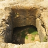
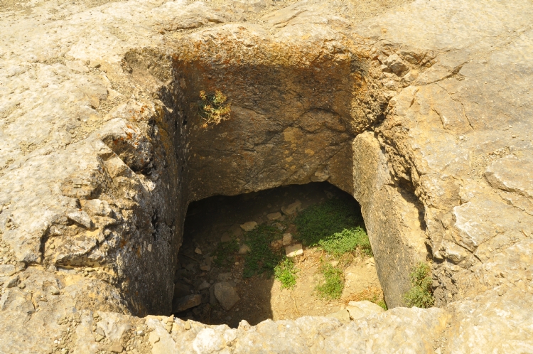
At the farther west of Irmunishini Temple, structure groups related to the palace lies. The main part is at the size of 81x15 m. This place consists of two main hallways lying at both sides and also halls and rooms lying parallel to them between them. The ground of the palace and some of the bearings were formed by carving the main rock. There are also three cisterns opened into the main rock on the ground of the palace. The data showing that some areas connecting to the hallways of the palace were kitchen and sotorehouse area and also stair ruins pointing that it was multistorey were unearthed. The drainage channels which are one of the most important features of Urartu royal cities can be observed at the palace part. All waste waters were thrown out through this system lying until beneath the walls.
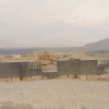
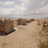
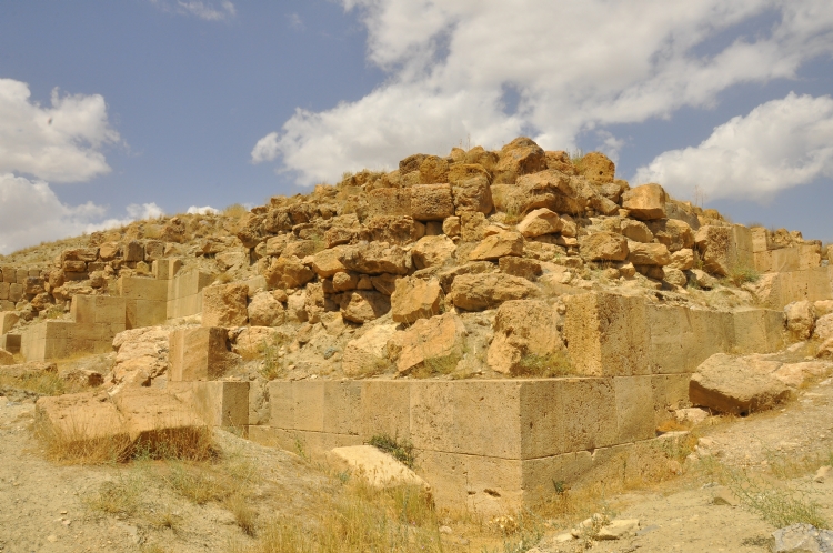
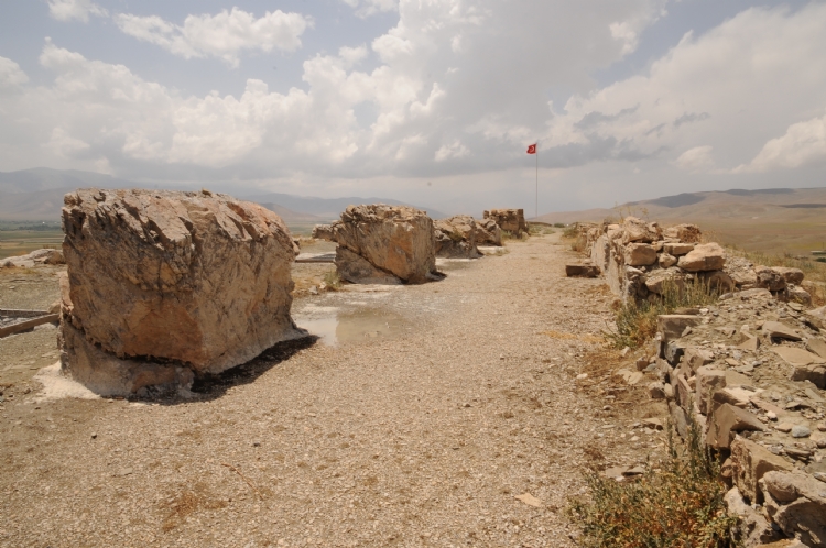
One of the most important structure groups for Çavuştepe is the structure named Uçkale located at the east of Lower Castle. It was built on east-west direction and has a size of 39x23.92 m. There are avant-corps in the middle of the walls at the corners. Some of the walls which were built with limestones using quality masonry reached until today at the height of 4-5 m. The bases of the ground floors of the structure which is thought to be two-storey were formed by the smoothing of the main rock.