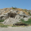
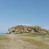
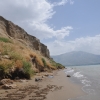
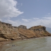
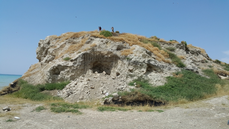
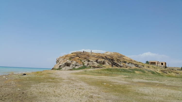
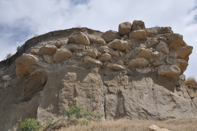
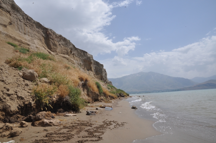
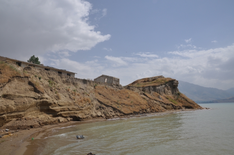
A conic shaped hill was formed on 34 km southeast of Van City Center. Mound on the southeastern side of Van Lake is damaged by the waters of Van Lake. In the Dilkaya Necropolis, between 1984-1991, archaeological excavations were conducted under the presidency of Prof. Dr. Altan Çilingiroğlu. Middle Age, Iron Age and Early Bronze Age layers were found on the Mound.
Middle Iron Age structures were found just above the Early Bronze Age layer, the earliest layer of the mound and the red-lined Urartu pottery was found from these structures. The Iron Age architecture can be traced in M6, M7, and N7 excavations. The finds from these areas are contemporary with the Urartian Kingdom. A rectangular space with stone walls divided into sections with mudbrick walls was found out just below the gravel layer that encountered after the middle age layer. The warehouses vessels in the Urartian pottery feature found out in this area show that this space is used for storage. Again this layer was placed on the Early Bronze Age layer below.
The situation follows the bedding of the mound in other areas. It is understood that there was no settlement until the period of Urartu after the Early Bronze Age. There is a thin layer of fire between the Urartian layers and the Early Bronze layer.
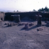
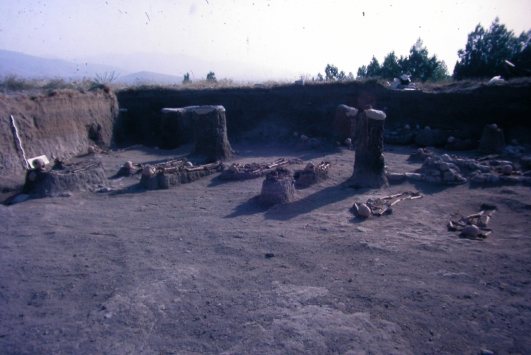
The Dilkaya Necropolis is located approximately 200 m north of the mound. In the excavations carried out in the necropolis area, four burials were found. Simple graves, stone chest graves, chamber graves and urnes.
Simple sand burials and urne burials in the necropolis area were dated to the Urartian and Middle Iron Age. The grave called the Great Room Tomb has a rectangular plan measuring 2.40x4.60 m. The semi-circular area in the west of the burial chamber was used as a dromos. It was entered into the burial chamber through the space, which was closed with a cover stone placed vertically from this area. A hocker burial was found in the northeast corner of the burial chamber. 11 skeletons were uncovered inside the burial chamber. The second chamber grave was uncovered in the north of the grave. The burial chamber, which seems to be without dromos, has a circular plan. The walls have a thickness of 0.75 m and the side walls are 1.70 m high. More than 30 skulls were found out from the burial chamber with the entrance space in westwards.
Two bronze wedge shaped bracelets, an iron scepter head, beads and a bronze fibula were removed from the burial chamber. The burnt bone parts found in the burial chamber indicate that the cremation burial in the grave could have been made.
Two types of burials were applied in Dilkaya stone chest graves. In addition to burials that put into burials after being burned, hocker-style burials can be seen. The stone chest graves, called No.1, has a rectangular plan measuring 0.70x1.10 m. The burial chamber has 8 burials. The burial chamber was dated to the Early Iron Age with pottery recovered from the grave and an iron hair pin.
The stone chest grave, called no. 2, for the cremation burial has measuring 0.40x0.44 m. The grave is made of 0.40-0.50 m flat flag stones placed vertically.