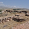
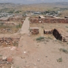
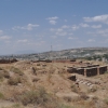
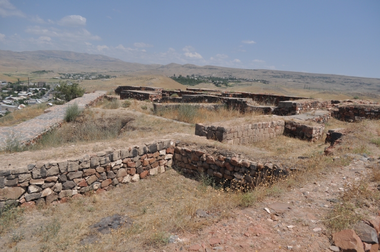
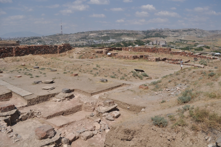
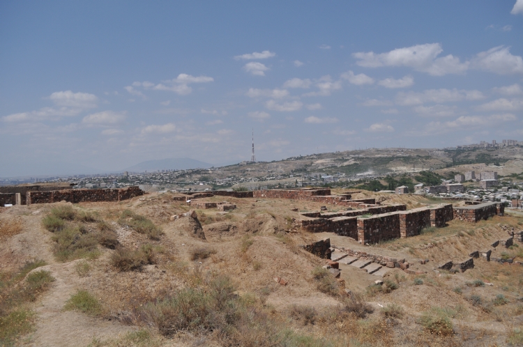
The city of Arinberd, built by King I. Argishti, is located just southeast of Yerevan. The city is composed of a sitadel established at an altitude of approximately 50 m from the plain and a lower settlement formed on a low-angle slope to the east.
When we look at the scientific studies in the region, we see that the first regular works started with the excavations in 1950 and lasted for 20 years.
We found out that the city was built by Argishti I and that it was called Erebuni according to documents founded. It is learned from the king's annals, the city was founded Argishti I, in the 4th year of his kingdom “to strengthen Bianili country and suppress the enemy countries.”
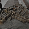
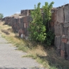
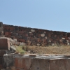
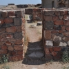
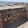
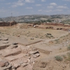
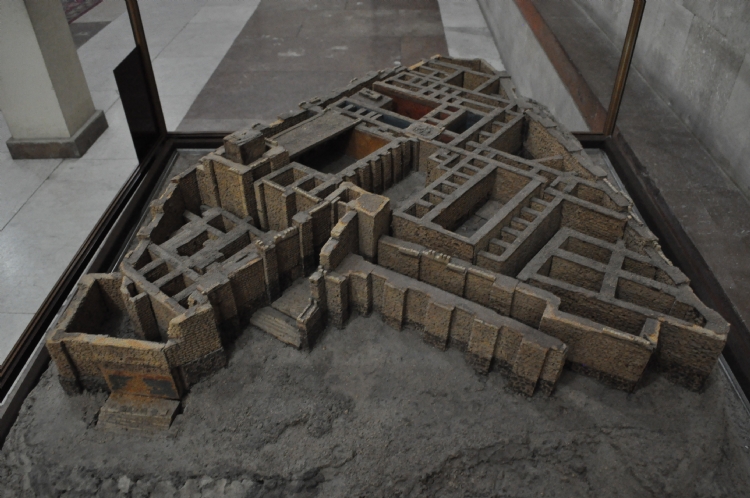
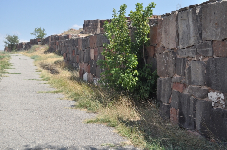
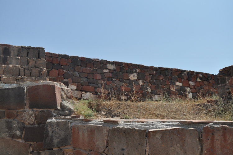
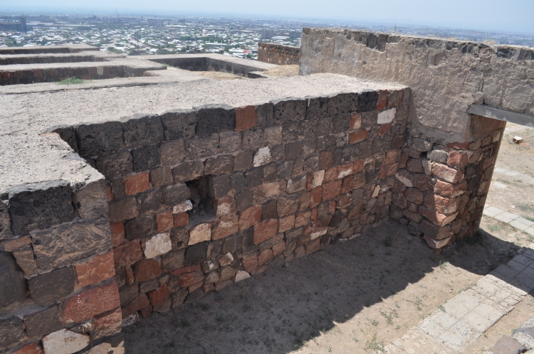
The citadel was established on an area of approximately 2 hectares. It is surrounded by stone-built, mudbricked fortification walls, most of are reinforced with stanchions. There are struts with a length of 4-5 meters and a height of 1 m was placed at approximately every 5 meters on the fortification walls.
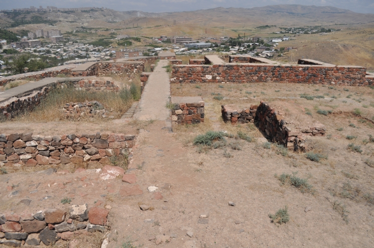
The general layout of Sitadelin is triangular. The entrance is in the southeast direction. The remains of the Haldi Temple were found in the area to the left of the entrance. This area was destroyed later due to the columned hall constructed in the Persian period. The courtyard with a rectangular plan on the right side of the entrance and 6 rooms on both long sides is remarkable. It is understood that, cloister is one of the central building groups of the palace with the structures around it. It was learned that the rooms were used for storage of grain and wine.
There is the Iubsha temple in the northeast of citadel. From this point of view, there is a citadel area with two temples as in Çavuştepe. The inscription on both sides of the door passage of the temple belongs to King Argishti I. In the inscription, it is written that the temple was built for God Iubsha. The temple differs from Urartian classical Haldi temple plans. The corners are without rizalit.
The wall paintings uncovered in the Arinberd palace and the Haldi Temple are quite striking. In the wall paintings in which white, red and blue color were used predominantly, mythological animals, tree of life motifs and god images were drawn between the strips formed with herbal and geometric motifs.
Arinberd lost its importance by the construction of Karmir-Blur by Rusa, the son of Argishti.