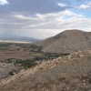
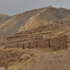
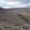
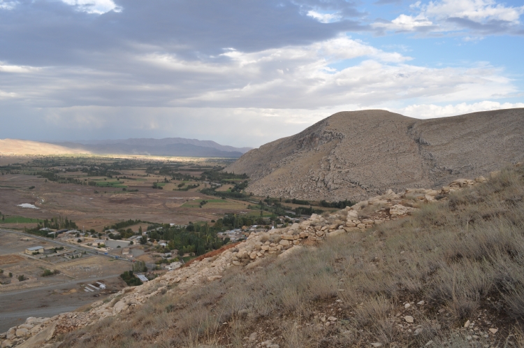
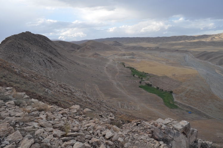
The town of Bastam, located 37 km northwest of the city of Hoy in northwestern Iran, extends along the Akçay valley and overlooks the Karaziyaeddin Plain to the east.
It was understood that the city was built by Rusa son of Argishti and named as RUSAI-URU.TUR. The site was discovered by Kleiss from the German Archaeological Institute in 1967 and the excavation was carried out by the same scientist between 1969-1979.
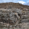
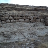
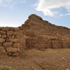
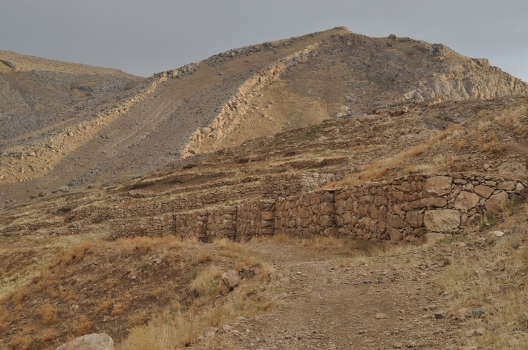
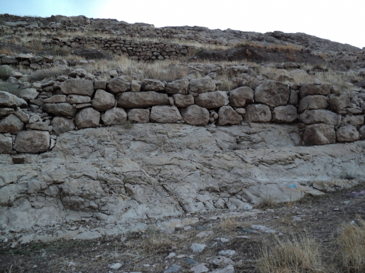
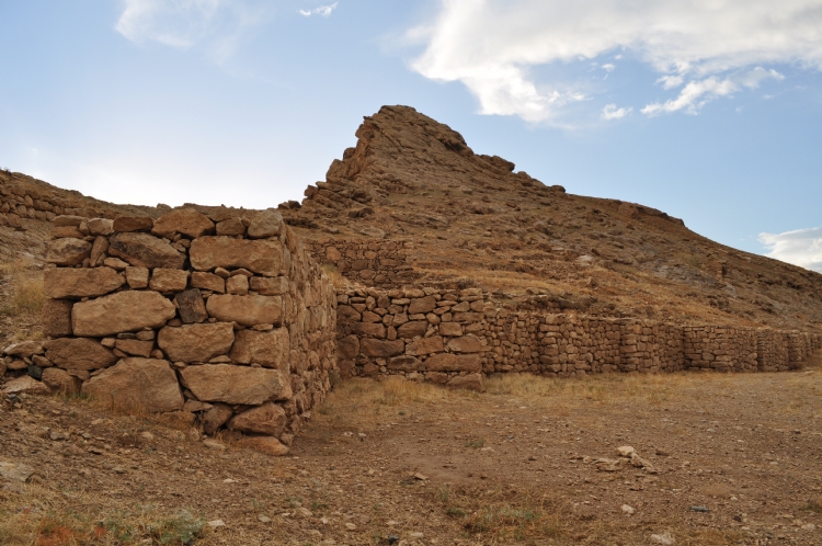
The surrounding area of the citadel of the city surrounded by defensive walls on the mudbrick body has a height of 2-3 m. The city walls sit on the bedrock. It is reinforced with stanchions and defensive towers are placed occasionally.
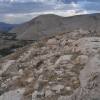
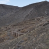
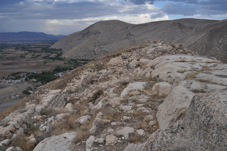
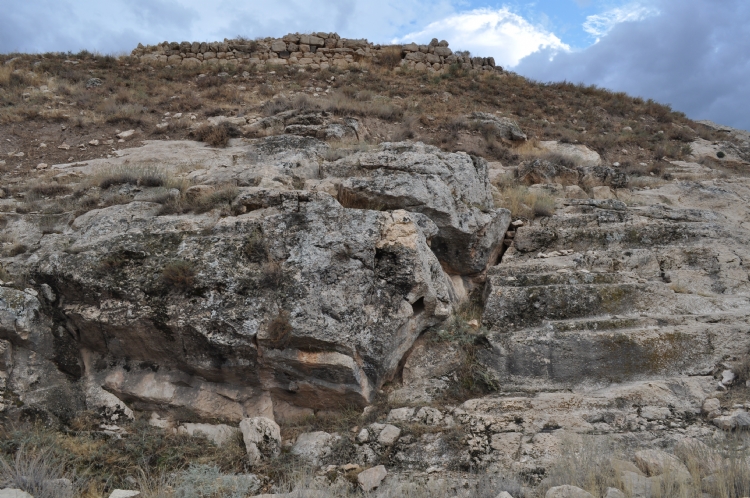
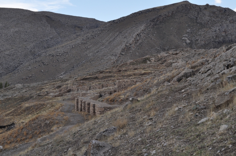
The citadel structures are located in the north and north-west of the rocky hill which has relatively less slope of the Bastam citadel. For this reason, it was staged by carving the main rock in many areas. In some areas, terraces and podiums are formed by walls rising on the bedrock and structures are placed on these plains.
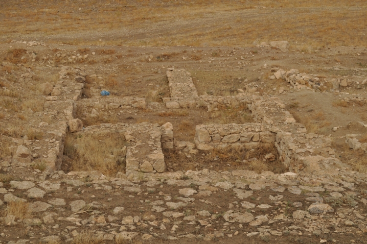
According to the topographic structure of the hill, the settlement consists of three different groups as lower, middle and upper. The lower citadel has a two-door entrance. The southern gate has a width of 5 m and has towers on both sides.
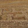
The middle citadel is located on a cliff and has an average area of 200x130 m. The temple and related building groups were probably placed in this area. The temple could only partially preserved which was thought to dedicated to God Haldi. It can be understood that is a tower type temple with 13.5x13.5 dimensions. In the same area, storage structures and pithos were exposed. Scale and nail stamps were found on the pithos where the products such as wine, oil and cereals were stored. A large number of bulla (seal presses) from the same areas indicates the administrative and economic potential of the citadel.
Upper citadel is the highest part of the city. It is considered that there are administrative units, palace and warehouse structures located in this area which is approximately 150 m high from the valley. The thick walls of the buildings indicate that they are multi-storey. It is seen that the formal buildings and private houses have different qualities in the lower settlement of Bastam. Aristocratic, bureaucrats, craftsmen, merchants from different segments of the community, such as different groups of people lived in different structural features.