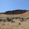
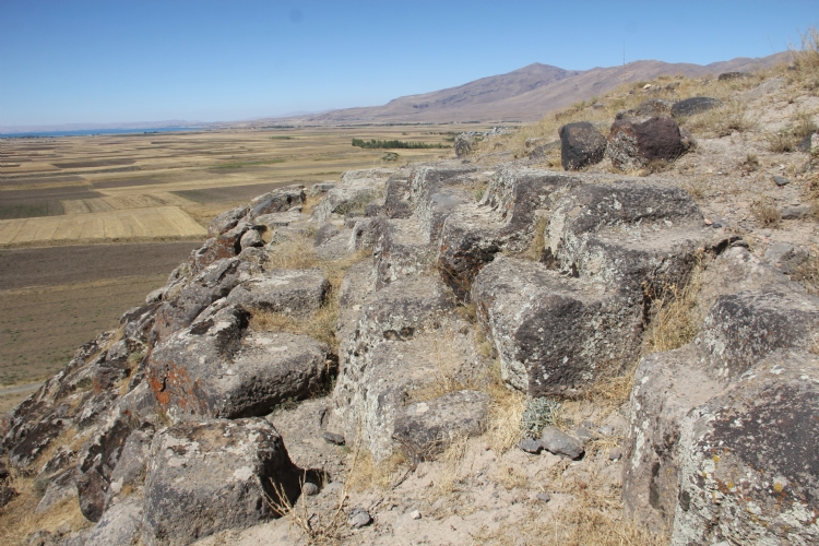
Körzüt is located in the southeast of the Muradiye plain at an average distance of 9 km in the district of Muradiye in Van province. The center, which has a strategic point as a location, played an important role in the flights from Tushpa to the north. In addition, it is an important base for controlling the rich agricultural lands in the Muradiye Plain and for storing the obtained products. The Muradiye Plain consists of an area of 80 square kilometers and a suitable agricultural area with its alluvial structure carried by different water resources, especially the Bendimahi Creek.
The first scientific studies about Körzüt were made by Burney and pioneered to Sevin and Tarhan, who were continued their studies with his discovery report and citadel map. After these studies, the scale plan of the citadel and the settlement was charted. In addition, a salvage excavation was carried out by Van Museum Directorate in 2016.
Although the information about the establishment of Körzüt can be found in the inscription found in the village of Uluşar, it is understood that the city was founded by King Menua. Located in Karahan, 8 km from Körzüt city, the King Menua stele stands for the doors of the Haldi, built by the king in the city of Arsuniu. A stone that emerged in the region of Kevenli is mentioned in the doors built by King Menua in Arsuniu in the name of god Haldi. Based on these data, the cities of Arsuniu and Körzüt are thought to be the same places.
As seen from the inscriptions, the period of Urartian Kings Ishpiu and Menua and the period of Menua ruled solitary in which the Urartian Kingdom began to take a large amount of goods and human spoils by launching into remote areas. It is observed that the obtained goods and human spoils are used in the settlement activities based on rapid urbanization. Körzüt is one of the most concrete examples of this situation.
Körzüt is one of the most important centers of the Urartian Kingdom with its 4,9 hectares of citadel and settlements spread over 4.8 hectares.
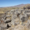
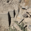
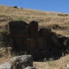
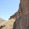
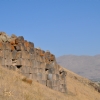
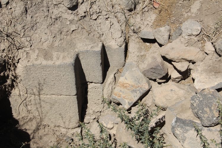
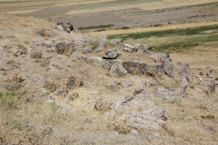
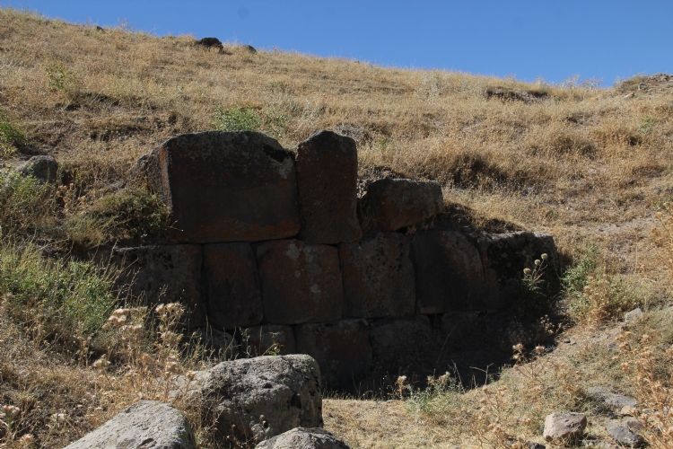
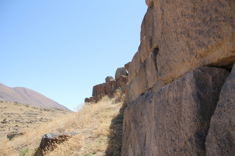
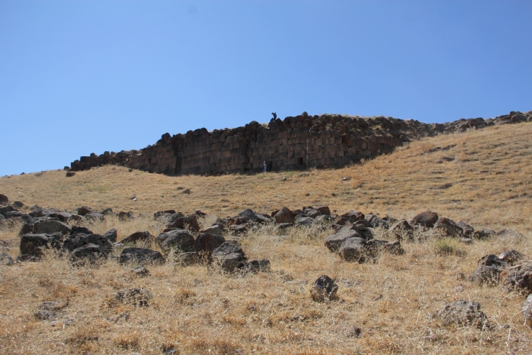
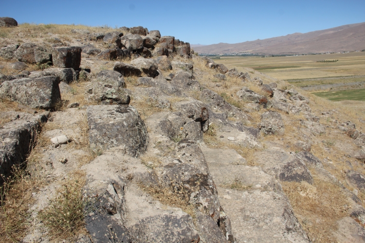
The citadel area is surrounded by steep cliffs in the west, south and northwest. In the north-east, it is surrounded by fortification walls with 8 meters of height. The brackets are 5 m wide, 1 m deep and 8 m apart. Thickness is 4 m. The walls were constructed from square or rectangular basalt stones with externally curved stones.
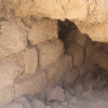
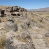
The citadel section has access to the northeast. The entrance door is protected by 10 m long walls on both sides, thus creating a space that can be controlled by walls on both sides before reaching the door. There are traces of buildings in the northwestern and southwestern part of the citadel. There are rectangular and square plans can be seen in the northwest.
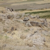
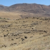
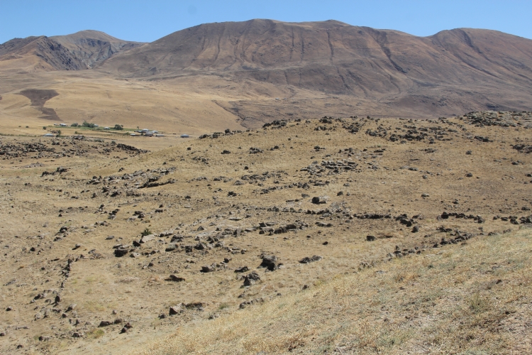
The lower settlement is located on the skirts of the southeast, northeast and east part of the citadel. The lower settlement is spread over an area of 8-9 hectares towards the entrance to the entrance to the citadel and to the plain. The surrounding area is not surrounded by walls. The plans of the buildings in the settlement are not very clear.