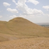
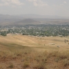
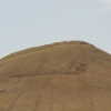
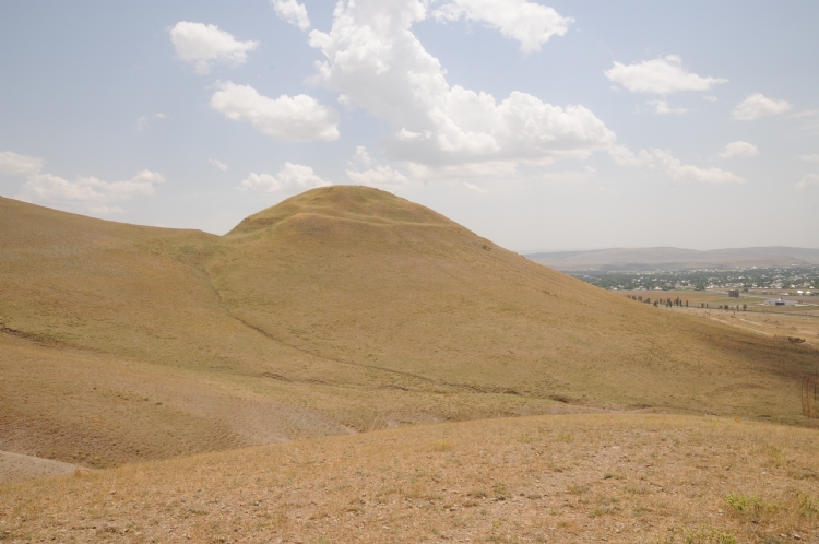
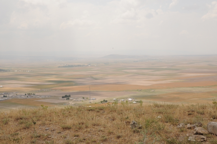
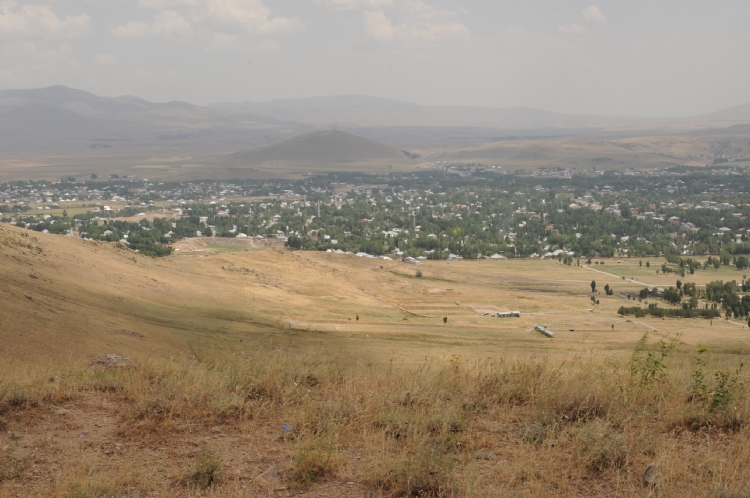
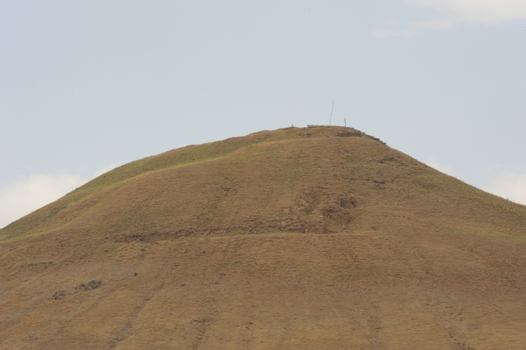
Aznavurtepe is located 3 km northwest of Patnos district of Ağrı province. The settlement is located on the plain where the kingdom crosses west and north.
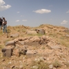
Excavations were conducted under the direction of Prof.Kemal Balkan in between 1961-1963 in the city.
It is understood that the first construction activities from the written documents belonged to the period of King Ispini. The construction activities in the city continued during the reigns of King Minua, Argishti I and Sarduri II.
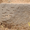
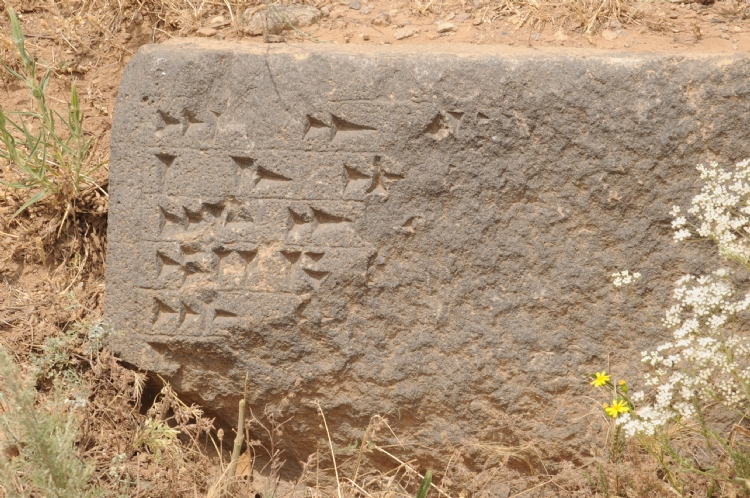
The temple wall writings on Aznavurtepe are important written documents. It is mentioned about King Minua as “He has built Haldi Gates and built a gate.” The city of Aludiri overlaps with Aznavurtepe at the location and supports the idea that both the temple and the fortification walls were built by Minua.
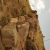
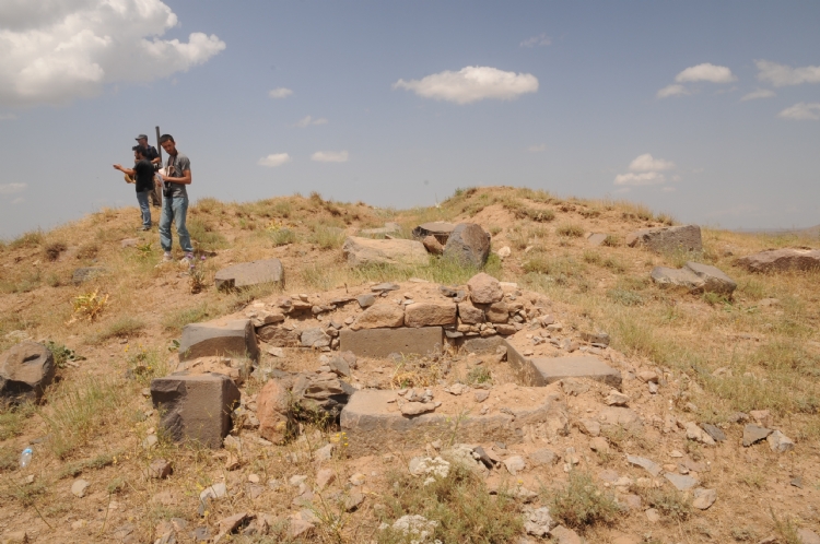
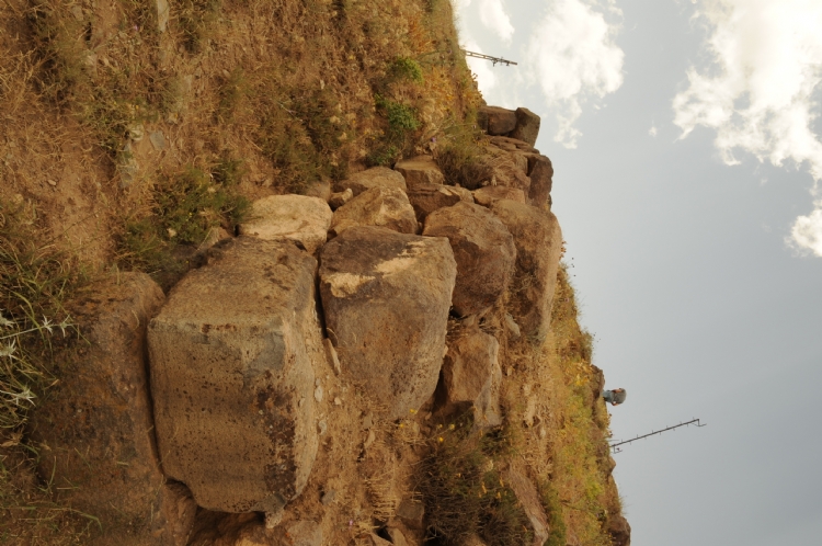
The citadel section of the city covers an area of approximately 25 hectares, while the lower city stretching 6 hectares in the south-southeast direction. Sit in a 4 m thick fortification walls. Sur-terrace walls were found approximately 60-70 m below the highest point and on the west, east and south slopes. The thickness of the wall excavated in the west is 5 m. The stone foundation and mudbrick parts of the walls rising above the bedrock were preserved up to 4 meters at some points. The fortification wall is one of the unique examples of the Urartian defense system. Towers with dimensions of 8x8 m were placed at 18 m intervals.
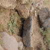
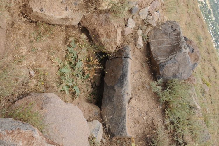
The temple of the city is located at the top of the citadel. The temple with a size of 13.30x13.50 m has a square plan and its corners are rizalitic. The mudbrick body was built on 3 rows of cut stone walls. Thicknesses of the walls are 4 m. A door corridor with a length of 3.20 m from the south-east leads to the cistern of the 5x5 m temple. The corridor has a width ranging from 1.50-1.75 m. The floor is triangular and rectangular stone. The height of the walls surrounding the cellar is 3.5 m. There is a quadrangular courtyard in front of the temple. In a rectangular room between the east wall of the temple and the hillside, bronze spearheads dedicated to the temple, iron and bronze arrowheads, bronze bracelets, bronze rosettes with blue stones, fritten scepter heads, bronze lion figurines were uncovered. Also an inscription found belonging to near the room. The inscription states that Argishti I had built the É.Ašišuši (House of Ašišuši). The fact that such buildings are located in places such as Van Fortress, Kef and Ayanis proves that this city is a royal city. It was revealed that the temple walls were decorated with frescoes depicting sacrificial animals in light blue color, red or dark colors.
Water requirement of the citadel, provided by means of the pipes from the water source 2 km east and no pipe pieces were found on the surface.
One of the other important findings of the Aznavurtepe is the entrance of the door which was unearthed on the western slope of the walls. Two inscriptions were found in this section. Those are mentioned about the warehouses built during the period of Argushi I and the other in Sarduri II period.
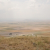
Aznavurtepe is one of the most important examples of the Urartian cities, which were established on the plains, accessing the plains and which could secure other plain, valley and passages that might be connected with these plains. It has a strategic position that controls the northwest and west of KentPatnos Plain. It also plays an important role in the economic evaluation of the fertile plains extending around it.