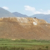
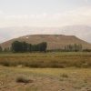
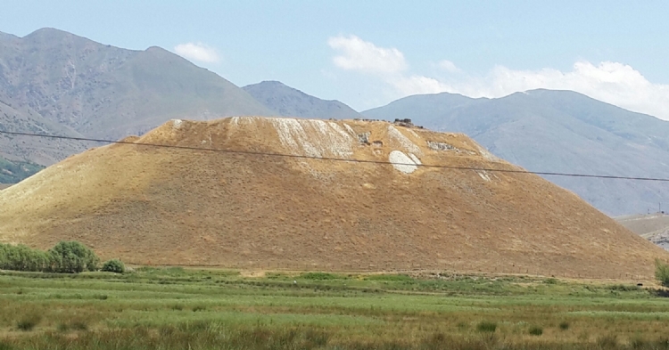
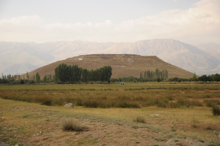
Altintepe is located within the boundaries of Erzincan province, 5 km away from the town of Uzumlu. It was built on a natural hill at an altitude of 60 m from the plain level.
The first scientific studies in Altıntepe were carried out by Prof. Tahsin Özgüç between 1956 and 1968 and during this process particularly the temple complex, open-air temple, tombs, storage rooms, structures such as apadana has been revealed.
On the findings extracted from a tomb in Altıntepe, there are cuneiform statements in the form of “Argishti the son of Rusa…” Due to this information, it is thought that the settlement may have been established at the time of Argishti II.
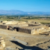
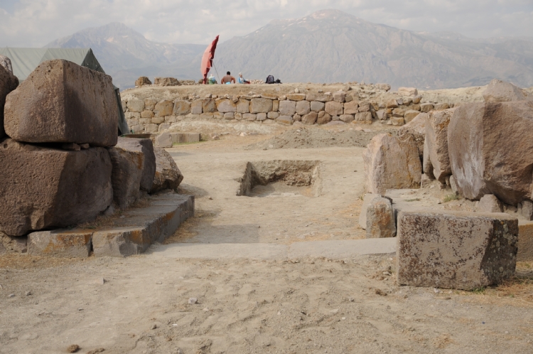
When we examine the city's citadel structure, it is remarkable that there are two different fortification systems. The first surge system passes through the slope of the citadel; it covers an area of 4 hectares, including the open-air temple and the necropolis area. The walls of the fortifications are supported by the towers.
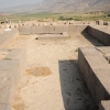
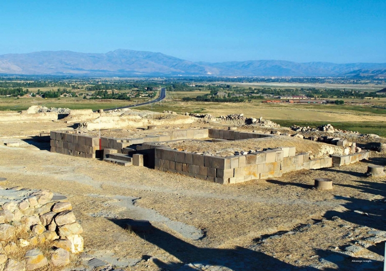
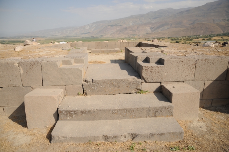
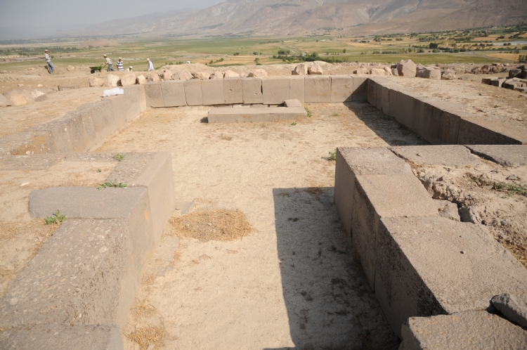
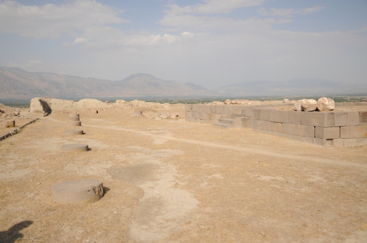
In the center of citadel, the classical Urartian temple raises with 13,80 x 13,80 m dimensions. The lower walls were built with three rows of stones. There is a cloister spreads of 30x27.20 m area around the temple. There is a building complex with three sections in the west part of the courtyard. White, blue, red colors were used in the wall paintings uncovered in the temple area. Mythological figures and tree of life motifs dominate the scenes. Also, many findings were found in-situ in the temple cella. Some of them are spearheads of bronze or iron, scepter heads, arrowheads, red burnished vase with high feet.
Prof. Tahsin Özgüç stated that the temple area of Altıntepe was also used as a palace section and should be considered as a temple-palace in this respect. In addition, it is reported that the Altıntepe palace may have remained under the Persian Period Apadana (Columned Hall) to the west of the temple area.
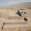
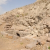
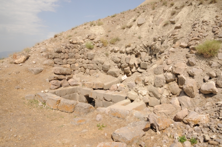
On the contrary, Altıntepe warehouse structures are located outside of Urartian walls in the northeast of citadel. The largest one has a rectangular plan measuring 7.44x17.09 m. There are hieroglyphic markings on some of the pithos.
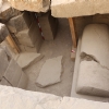
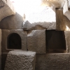
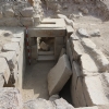
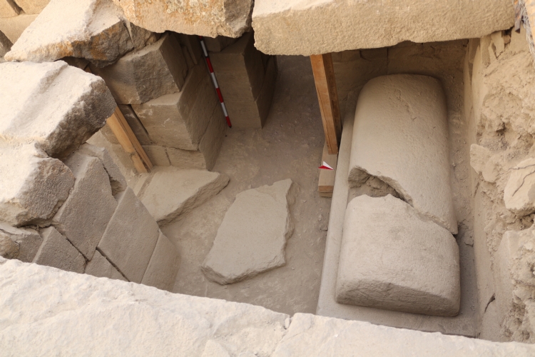
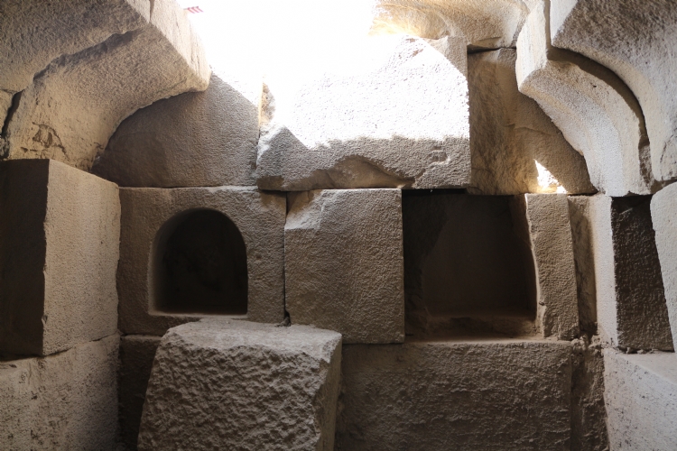
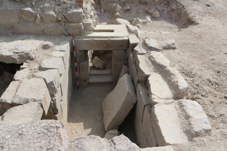
In Altıntepe, three graves were discovered, on the southern slopes of the hill again outside the walls. Some of the burial chambers built with ground-cut stone blocks have many rooms. Bronze boilers and ivory artifacts left as tombs constitute the original findings of Urartian.
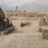
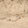
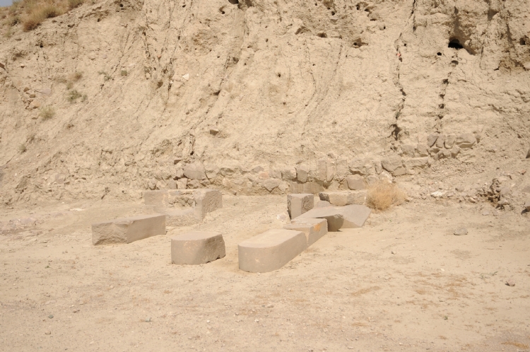
The area considered as an open-air temple is on the same terrace as the graves on the south-eastern slope of the citadel. This area measures 7.75x11.70 m. surrounded by mudbrick walls on a stone foundation. The ground of the field is rammed earth. In the excavations, 4 stele and their pedestals were revealed 1 m close to the northwest wall of the area and parallel to the wall. Steles are 2.30 m high, 0.50 m wide and 0.32 m deep. The tops of the stelae are arched and there are no texts on them. The other remarkable findings in the area are a round altar with a diameter of 50 cm.