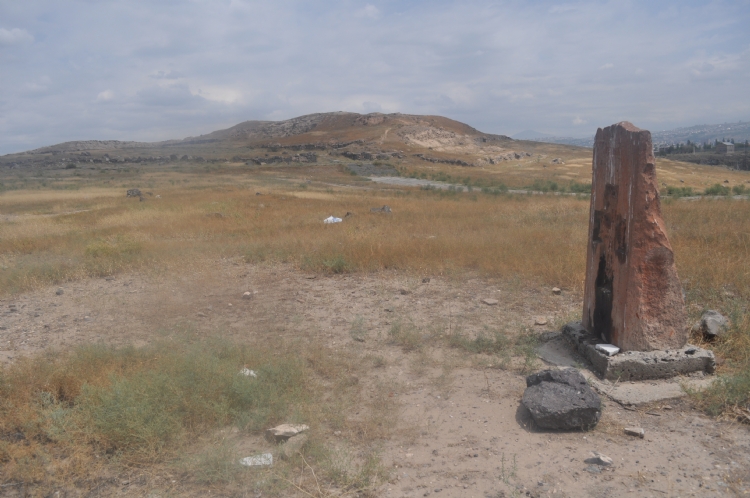
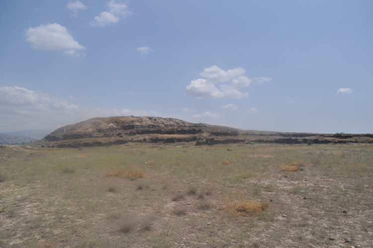
The city of Keshir Blur, also known as Teisheba, is located on the south side of the River Razdan, about 6 km from today’s Yerevan, Armenia.
The first scientific studies of Karmir Blur started in 1939, after the cuneiform blocks were found in here. In the cuneiform document the name of Rusa son of Argishti written on showed that the settlement was built by this king. In 1962, on the stone blocks in the southwest of the citadel, which were scattered among the foundations of the temple, in the city of “Tishebaini” in the province of “Aza”, the lines mentioning that the Susi temple and the Gorgeous Door were built in the name of Haldi, the chief god of the kingdom, were read. Therefore, these writings were embodied as the name of the city Teişebaini.
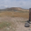
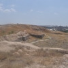
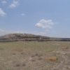
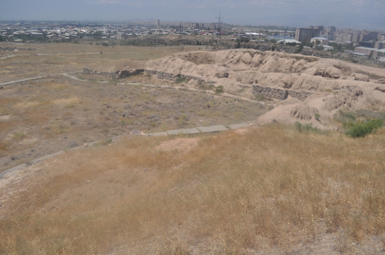
A large part of the citadel was revealed in the studies. The north-northwestern part of the city is bordered by the Razdan River and high cliffs. While this location provides natural protection to the city, it is also possible to benefit from water resources. The city's south and west consists of gardens, vineyards and fields suitable for agricultural activities.
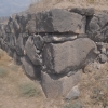
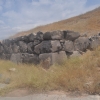
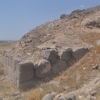
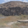
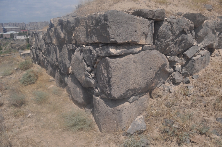
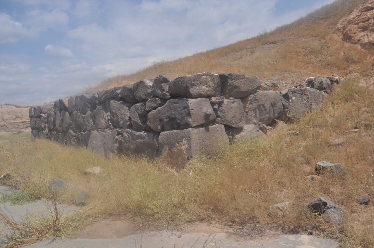
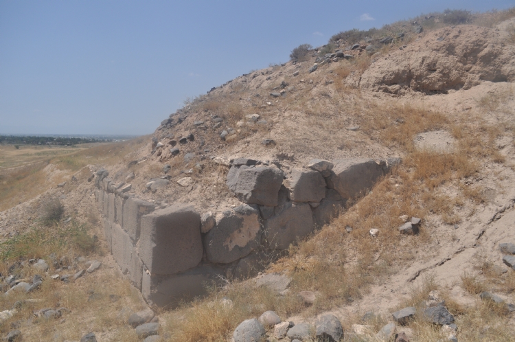
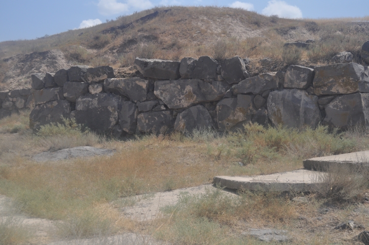
Karmir-Blur citadel is spread over an area of approximately 4 hectares. The citadel surrounding the consists of adobe walls rising over 3-4 rows of stone walls. There are towers placed on the walls, which are thought to be defensive. It is understood that the main entrance is from the southwest. The entrance is reached by a ramped path and a tower is located on either side of it for defense purposes. Another entrance is located to the northwest of citadel.
The most important building group of Karmir-Blur is the palace and the storage units associated with this area. It is reported that this area consists of about 150 units. It is stated that there are storage units and workshops on the ground floors of the building group. Based on the archaeological findings these rooms are defined as: the places where food and beverages such as cereals, sesame, wine and oil are stored or produced, such as weapons stores, places with pottery related to daily use, rooms where bone or tools or ornaments are produced, and animal skins are stacked and stored.
The gold, silver and bronze jewelery and statues that reflect the wealth of the rulers of the period unearthed in the city give information about the art of Urartian. Existing jewelry belonging to the rulers is important in terms of understanding their rich life in daily life.
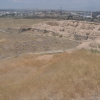
Karmir Blur has a lower settlement spreading around 25 hectares. The settlement texture extending to the west and southwest of citadel attracts attention with its different building groups. In addition to dwellings that reflect the social position of the inhabitants, the houses which are the product of a simpler plan and low quality workmanship are also common.
The findings of Karmir Blur show that the city is a very important administrative and economic center. Specifically, the number and potential of storage areas indicates that there is an important royal storage area for the products obtained in the agricultural land in the region. The variety of stored products also reflects the size of the agricultural activities carried out in the region.