The Upper Anzaf city, one of the important centers of the Urartian Kingdom, is located 13 km northeast of the Tushpa, the capital of the kingdom. The city was founded by Menua son of Ishpuini, a king-sized city, surrounded by walls, and an area of 6 hectares with an oval plan. The city is located in the southern and southeastern direction of the city with the city walls and the eastern gate.
The Lower Anzaf Fortress, which was founded during the Ishpuini period, is located 800 m north of the Upper Anzaf city. The excavations were carried out by Prof. Oktay Belli in Upper Anzaf city between 1991-2007. Among the structures unearthed are the temple complex, the western walls of the surrounding, and the storage rooms of the palace, the hall and reception hall.
The entrance to the citadel section is provided by two separate doors, which are supported by towers of 11x8 m in north and south directions. The north gate opens into sections such as workshops and warehouses, while the southern gate provides access to temples and palaces.
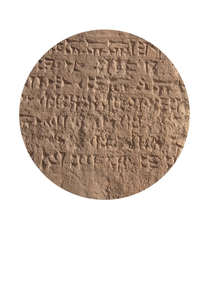
There are warehouses in the western part of citadel reached by stairs. The temple is located at the highest end of the southern tip of the citadel. As in the Urartian temple plans, it has a complex of courtyards and structures. In the temple building article the following words are written:
“With the power of God Haldi, Minua the son of Ispau, had built a susi and a fortress impeccably to the name of master god Haldi.”
The palace complex is located to the northwest of the temple and the buildings such as reception hall, storage rooms and corridor were uncovered as a result of excavations. One of these is the reception hall measures 10x29 m and contains 7 precepts, and 5 small rooms were found on the north of the hall. Some of the precepts have cuneiform inscriptions. In addition, pithos were found in the warehouses, buried up to the throat and cuneiform, seal and scales were found on them.
Upper Anzaf is an important base between Van Lake Basin and northwestern Iranian regions.
YAZILI KAYA
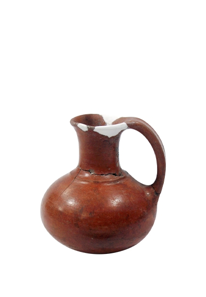
KÜÇÜK TESTİ