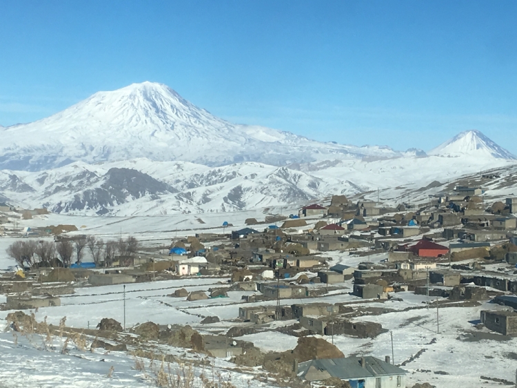
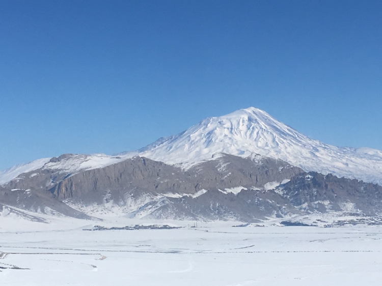
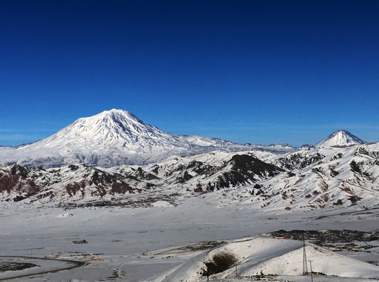
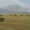
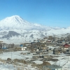
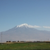
The Urartu were initially associated with the Ararat concept in the Torah. In the Torah, this term is mentioned as “rrt” in Hebrew writing and this concept was accidentally read as Ararat in the Middle Ages. It is understood that this concept is used for the mountainous region in the north of Mesopotamia. The Bible contains references such as “the mountain where Noah’s ark run aground”, “the region where Assyrian king, Sennaherib’s killers escaped” and “communities which Yeremya called for help to punish Babel”. In the nineteenth century, the mystery of Ararat began to unveil with the resolution of the cuneiform script. It is revealed that the “rrt” term in the Torah, which is read as Ararat as a result of misuse of vowels, should be read as Urartu. Thus, it was understood that the name, which the north used for this mountainous region in the Torah, expresses Urartu, the nemesis in the north of Assyria. Despite the definition of Urartu used in the Assyrian documents, the Urartians did not identify themselves under the same name. Beginning from Işpuini, the son of 1. Sarduri, the Urartian kings call themselves as the king of Biainili Countries in their inscriptions. We learn Urartu-Biainili equality from the bilingual Urartu inscriptions. I. Sarduri introduced himself as the king of Nairi countries in the Van CastleMadır Burc inscription. After that, Nairi name was used in Assyrian section of the bilingual inscription on the Kelişin Strait by İşpuini and his son, Minua while Biainili was used for equivalent in Urartian language. Topzawa Steli, near Sideqan, belongs to 1. Rusa is also bilingual. This time, the term Biainili was used in Urartian text in return for the Urartu term in the Assyrian section of the inscription. In 1st millenium BC, under the terms of the period, when we define the concept of a central state in the geography of Anatolia and the Caucasus, one of the only generations that meet these criteria is undoubtedly Urartians. In Prehistoric Period, bureaucracy, diplomacy; royal cities and their affiliated units, which are understood to have been built by the central government, standard planned public and religious structures, activities such as irrigation, agriculture and livestock, which are understood to be managed by a central authority can be deemed as one of the basic criteria of a state. If these characteristics are considered in Anatolia and Near East geography, it is seen that Assyria and Urartu come to the forefront in the context of the chronology of the 1st millennium BC. Considering the boundaries of Urartu, its main centers and diffusion areas, it is seen that royal centers are intensively located in Van Lake Basin, Armenia and the Aras Basin. In northwestern Iran, it is understood that a structuring was made in the plains around Urmiye Lake. In addition, Elâzığ-Malatya, Tunceli, Upper Murat Basin, Erzurum-Erzincan areas are the other areas which are in the influence area of Urartu. The areas outside these regions, mostly mountainous regions should have attracted the attention of Urartu especially in spring and summer. As a matter of fact, these areas were places where local tribes and seigniories engaged in sheep and goat breeding. These large springs of rural population were the regions where Urartu temporarily controlled or racketeered. However, where did Urartians, a political structure that has sustained its sovereignty in the region for about 250 years despite the adverse climatic conditions of the high plateau of Eastern Anatolia and the disadvantages of the mountainous region, gain this resistance and ability from? Urartu cities interact with Assyria on many issues, from the form of settlement to architectural understanding, from handicrafts to icons used in depiction art, up to their wording. The political and military events, that started in the 13th century BC with the period of principalities and continued until the destruction of Urartu, were also more related to Assyrians. It is not possible to evaluate the historical and cultural development of these two emerging powers of Near East geography at the beginning of the 1st millennium BC. However, it is clear that the interaction is largely originate in Assyrian. As can be seen from the Assyrian yearbooks, the first steps of the state organization of Urartu began with Arame, but the transition to the central state system continued with I. Sarduri, the son of Lutipri (840-830 BC). The name I. Sarduri is mentioned on the Madır Burç located at the southwestern foothills of the Van Castle and I. Sarduri introduces himself as “the king of the Nairi territory” in the this inscription written in Assyrian. “I’m Sarduri, the son of the great king Lutipri, the mighty king, the king of the universe, the king of Nairi, unique king, A terrifying shepherd who is not afraid of war, the son of Lutipri, the inscription of the king Sarduri, who spoils insubmissive to himself, king of kings, who accepts taxes from all kings.” This inscription in the Van Castle is the first written document of Urartu that can be determined so far. Previous historical information comes from Assyrian sources. Beginning from the 9th century BC, the Urartian inscriptions began to appear and these first inscriptions were written with the New-Assyrian cuneiform script. The Urartian Kingdom has entered into a rapid political and cultural development together with I. Sarduri. After I. Sarduri, his son Ispuini (830-820 BC) comes to the throne of Urartu. After that, it is understood from inscriptions which the two kings’ name are present at together that İşpuini and his son Minua entered a process of shared management the kingdom (820-810 BC) to guarantee the future of the dynasty. In Minua's power alone (810-785/80 BC), the state system and the dynasty are considered to be fully formed. In the Işpuini Period Urartu identity begins to be more clearly followed in the public arena. In Urartian texts, we see that the Biainili that they named their country and their capital Tuşpa started to be mentioned in their inscriptions. The national god Haldi is declared the head of the pantheon. In the early years of his kingdom, Minua gave importance to public works and built many castles and cities for military purposes on the roads from capital Tuşpa to various directions. His period, the large-scale expansion of the kingdom, was the basis of the expansion policy that the kingdom would continue throughout its history. After Minua, kings such as I. Argişti (785/80-756 BC), II. Sarduri (756-730 BC), I. Rusa (730-714/13 BC) came to the kingdom throne of Urartu. The order of next Urartu kings and their force times are highly contradictive. Although they left inscriptions belonging to their period, the dates of these kings could be determined according to the Assyrian sources. According to this, it can be listed as Argişti II? (709 BC), Rusa II?, the son of Erimena (673/72-652 BC), Sarduri IV?, the son of Sarduri III. (646/642 BC). In the period of III. Rusa, the son of Argişti (673/72-652 BC) within these kings, it is observed that Urartu has developed a lot in social, cultural and political terms. In the same period, the balance of power in the Near East also began to change slowly. Unsettled communities such as Kimmer and Scythian from the geography of the Caucasus and Iran started to threaten the central state structures. Again, at the end of the 7th century BC, Meds which began to strengthen in Iran began to creat danger to Assyrian and ultimately they caused the destruction of Assyrian in 612 BC. III. Rusa has built important royal castles and settlements to the north and east of Urartu in order to cope with this chaotic situation, which is caused by the nomadic societies, which influences the entire Near East. Settlements like Karmir-Blur in the Yerevan Plain in Armenia, Bastam in northwestern Iran point to a strong political, military and socio-cultural structure with both architectural and other material cultural remains. In addition, the settlements, Toprakkale and Kef Castle, especially Ayaniş from excavated centres in the Van Lake Basin reflect this richness. The Urartu State had experienced golden age in the Eastern Anatolia Region for 250 years. Centrally managed powerful kingdom; lead to a strict standardism in religious, architectural, military and art. Here, the architectural style represented by castles and lower cities and the religion mentality with God Haldi axis especially mine workmanship stand out. Despite the harsh climatic conditions and uninterrupted topography of the Eastern Anatolia Region, after the Urartians who produced a high culture, Eastern Anatolia did not reach the same level of development. After III. Rusa, the Urartu kingdom lost its old importance in the history of Asia Minor. In the time from this period until the destruction of the kingdom, the lack of information made it difficult for us to fully understand the stage of destruction and its causes. There is no significant information other than the names of the next Urartian kings. While it is not solved fully that how and by whom the Urartian Kingdom, remained in the forefront for 600 years Along with the Principalities/Tribes Period in the history of the Near East was abolished, we are learning from Assyrian sources that it was under the attack of northern unsettled tribes.


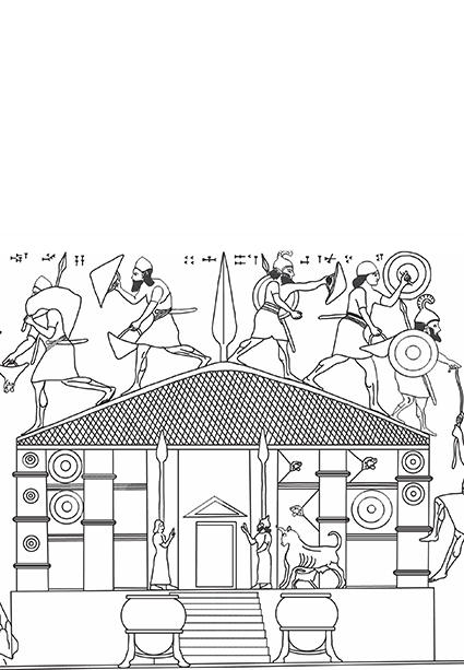
MUŞAŞİR HALDİ TAPINAĞI
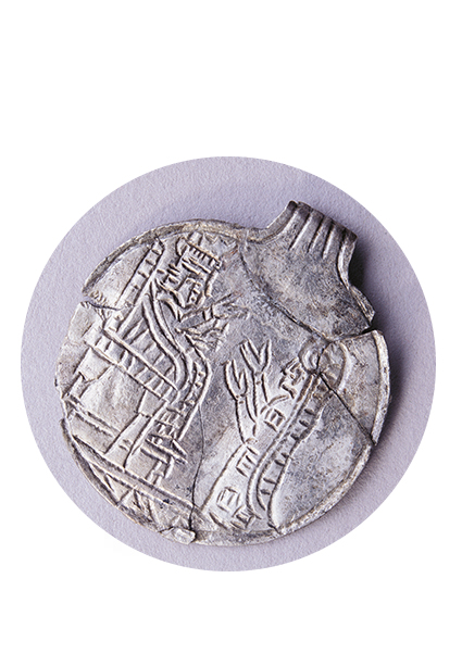
GÜMÜŞ MADOLYON