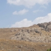
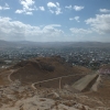
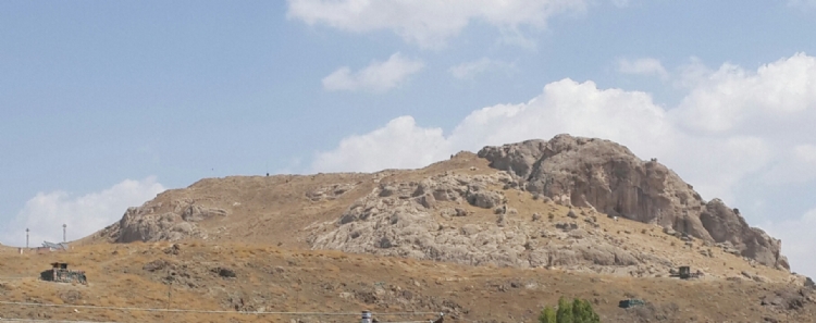
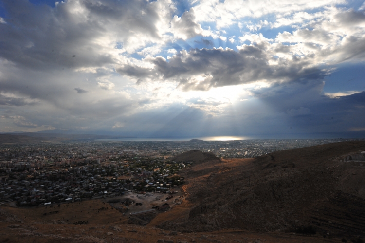
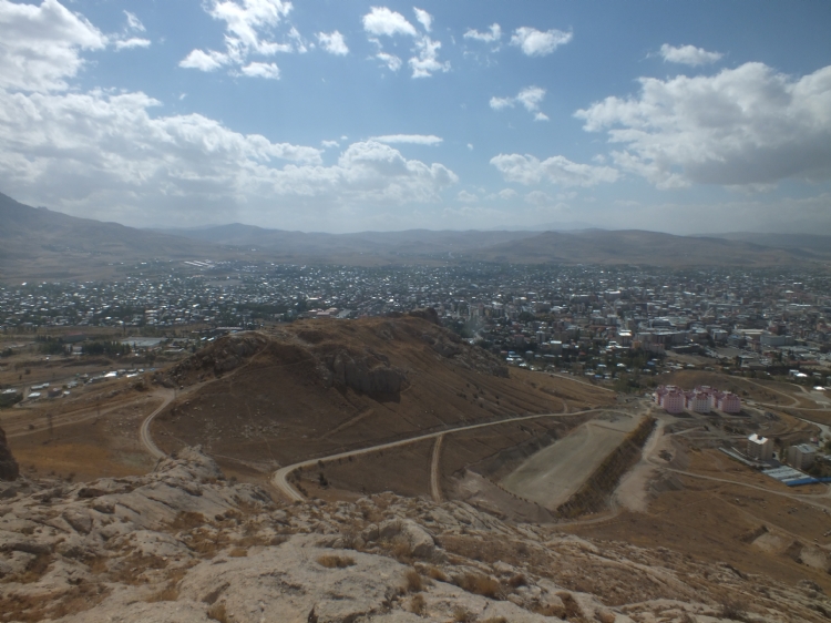
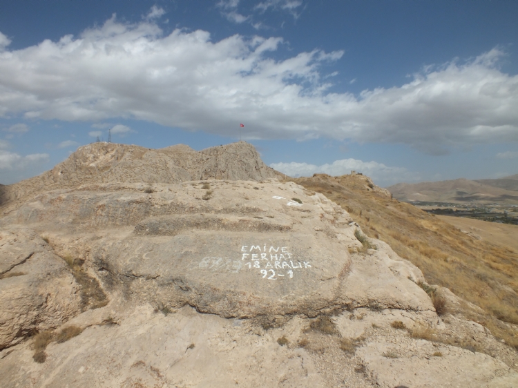
Toprakkale is one of the city of Urartian Kingdom, which has strategic value. Rusauşturinili Qilbani-kai is located on a high rocky hill southwest of the Zim Zim Mountain to the northeast of the Van Plain. It is 7 km far from the capital Tushpa. The distance from Meher Kapi to the west of Zim Zim Mountain is about 500 m.
Although it was discussed by whom the city was founded for a long time, it is understood that it was founded by the Rusa son of the Erimena from the information obtained from the stele in Gövelek Village near the Monk Lake. The fact that, Rusa the son of the Erimena, “is mentioned as the hero of the Tushpa” city on many monuments supports this idea.
The first scientific researches in Toprakkale were made in 1879 on behalf of the British Museum. These works were supported by the excavations carried out by Lehmann Haupt and Belck between 1898-1899 and the remains of the Haldi Temple were unearthed in these excavations. In 1916, Marr took over the excavations of Orbeli between 1911 and 1912, and excavations were carried out in the period 1959-1961 and 1976-1977 under the tutelage of Afif Erzen.
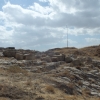
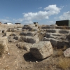
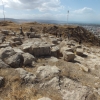
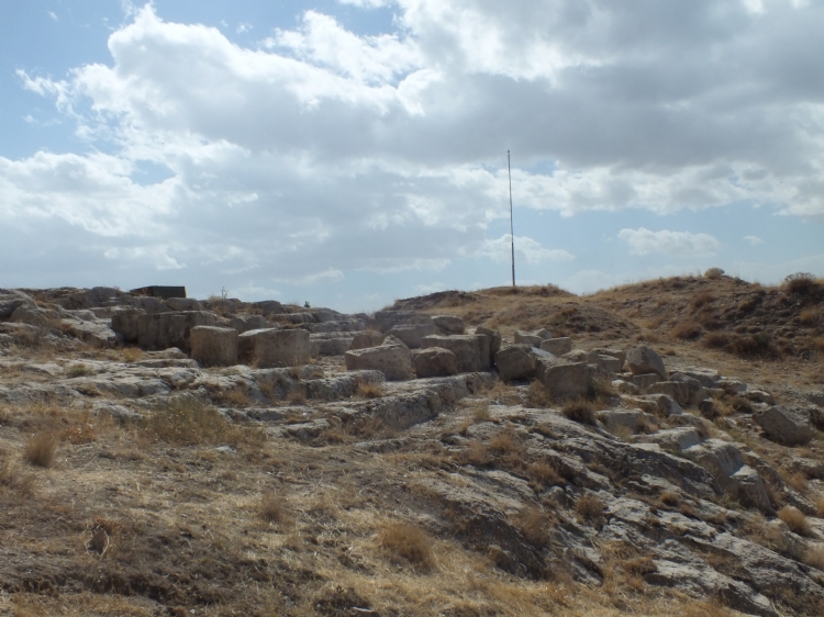
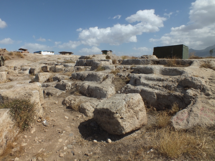
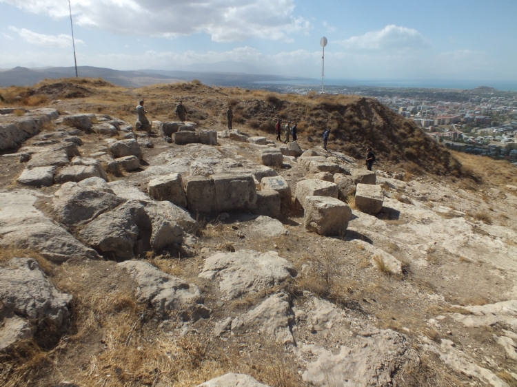
Toprakkale is spread to an area measuring 400x60 m. The wall foundation of the fortification walls surrounding the rectangular settlement can be seen clearly. The storage room, the temple and the rock spaces were unearthed by excavations at the site of Zım Zım Mountain.
Toprakkale Haldi Temple is one of the standard examples of the Urartian temples with a square plan. The exterior is 13.80x13.80 m and the cella is 5.30x5.30 m. The wall uncovered during the excavations in 1879-1880 is about 4-5 m high.
Three rows of pithos were uncovered in the warehouse structures determined in Toprakkale. The height of some walls in this area was determined up to 7 m.
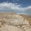
The presence of a cistern with a dimension of 20x10.5 m, carved into the bedrock to the southwest of the rock was discovered by Afif Erzen. The accession is provided by a 56-step tunnel and there are different shapes in different dimensions in the bedrock. It is thought that the rock work used here is not present in any of the Urartian king cities and may belong to a post-Urartian period.
Ivory works, bronze throne fragments, boilers, nails, votive shields with lion and bull figures, gold medallion, bronze foot candlestick and cuneiform tablets are remarkable among the findigns found in Toprakkale.