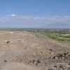
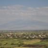
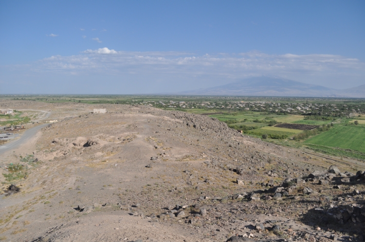
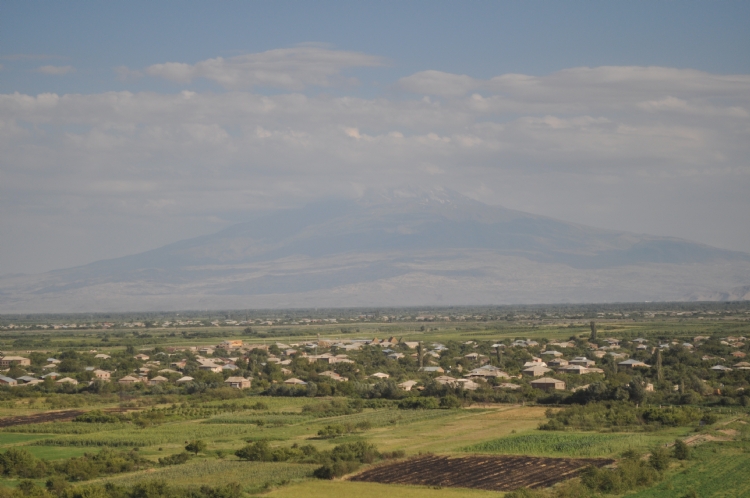
The city of Armavir Blur, an important center of Urartian, is located in the east-west direction between Davti and Armavir hills, 5 km north of the Aras River. The city was founded by Argishti I, one of the Urartian kings, and named after Argishti I. The meaning of the Argishihinili is the city of Argishti.
As a result of the evaluation of the stratigraphic structure of Armavir Blur by Martirosyan, it was understood that the Urartu process started with Argishti and continued in Sarduri II and Rusa III.
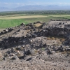
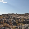
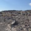
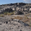
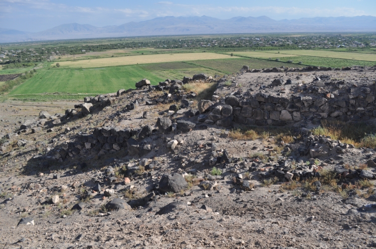
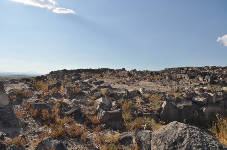
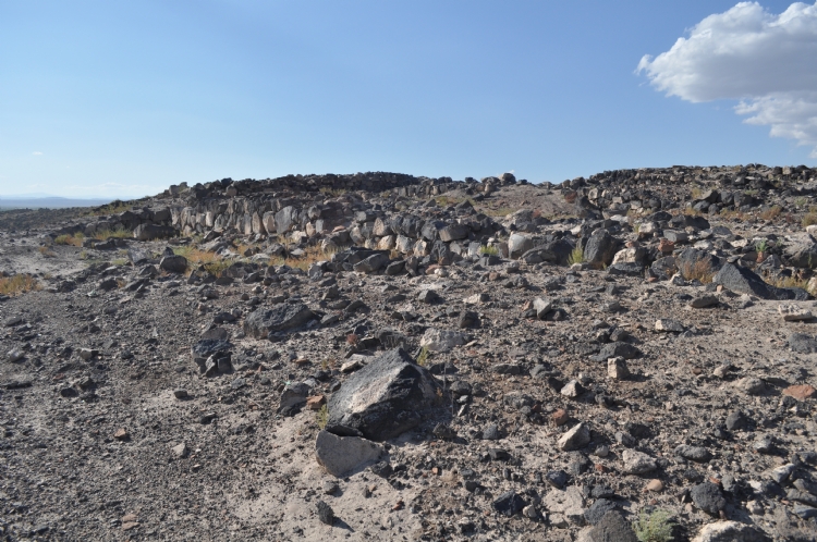
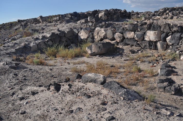
Most of the standard buildings in the cities built by Urartians can be seen in the sitadel on basalt rocky hills. The temple, palace, warehouse, workshop and house remains were uncovered in this area spreading to approximately 2.5 hectares. The walls were supported with stanchions and were built to surround the whole of the citadel.
The thickness of the stone walls built of basalt stone blocks is varies between 2.5 - 5 m. There are traces of painted plaster on adobe walls rising on stone walls.
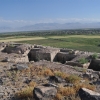
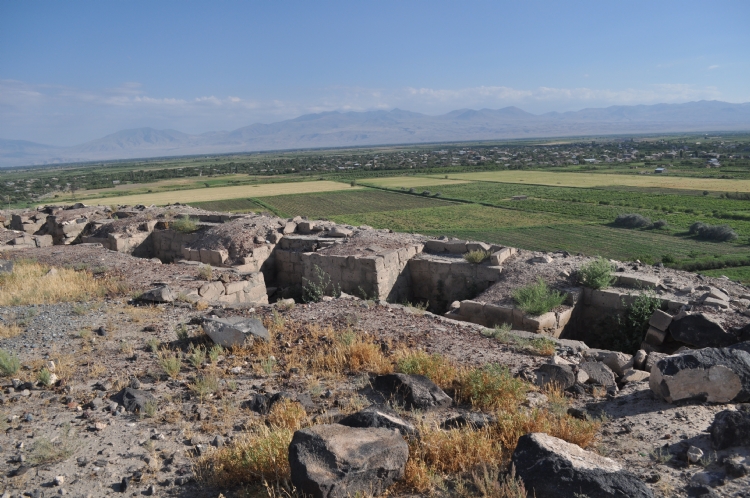
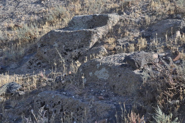
The building group defined as palace of Armavir Blur placed on east of citadel. A large courtyard, warehouses and rooms were unearthed. The pithos in the storage areas have scales indicated by cuneiform. The size and number of the pithos indicate that there were a lot of products in the warehouses. It is understood that in addition to mainly grain products, wine was also found to be stored. t is determined that 5000 tons of grain and 400-500 thousand liters of wine can be stored at once. The amount of storage is also an indicator of the economic importance of the royal settlement. It is understood that the agricultural product obtained from the Aras Plain and the tax collected from the region were collected in this settlement.
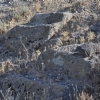
The excavations in the lower settlements provide information about the people living in different socio-economic classes and the social texture in the city. The southwestern neighborhood is one of the most prominent residential areas of the city and the houses have an unplanned texture. We see the buildings as a housing group with houses lined up around an inner courtyard with a similar plan. It is believed that the soldiers live in such houses.
The establishment of the city of Argishihinili is important in terms of demonstrating the important stage in the expansionist politics of the Urartian Kingdom. Argishihinili became an important state center of the kingdom with its existing features and its establishment.